All Hallows Primary School
‘illustrates the power of landscape architecture to transform people and place.’ Jury citation
Winner of the 2020 AILA NSW Award of Excellence for Health and Education Landscapes
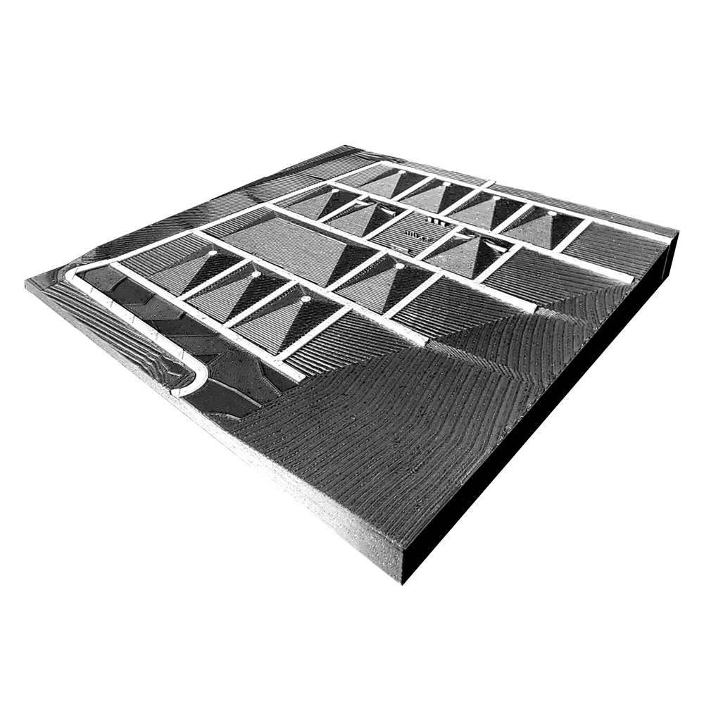
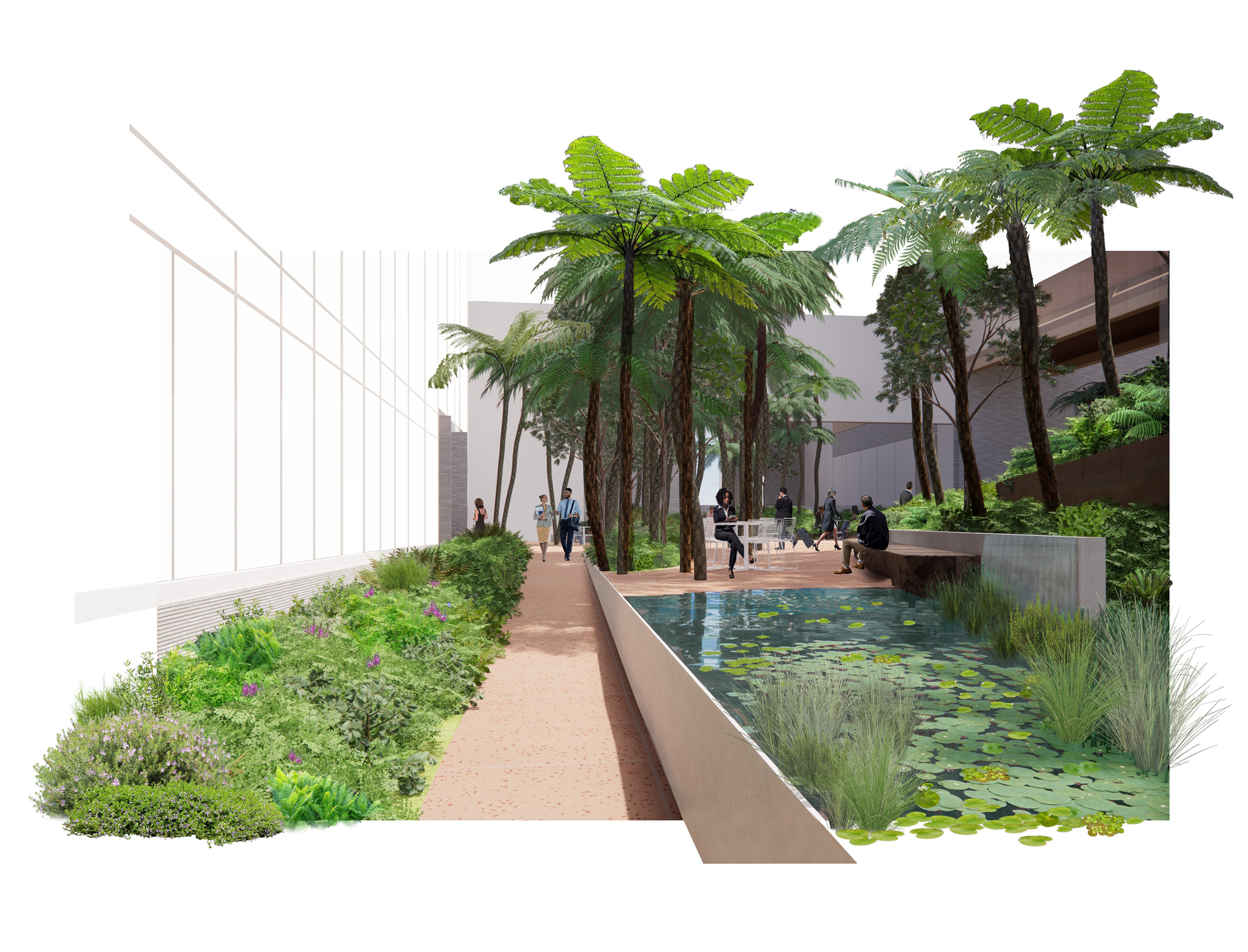
A space packed with imagination
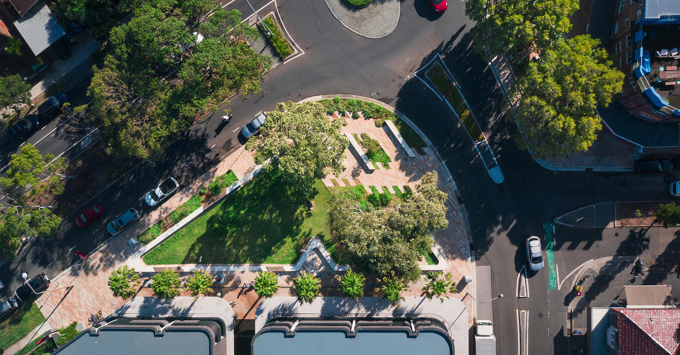
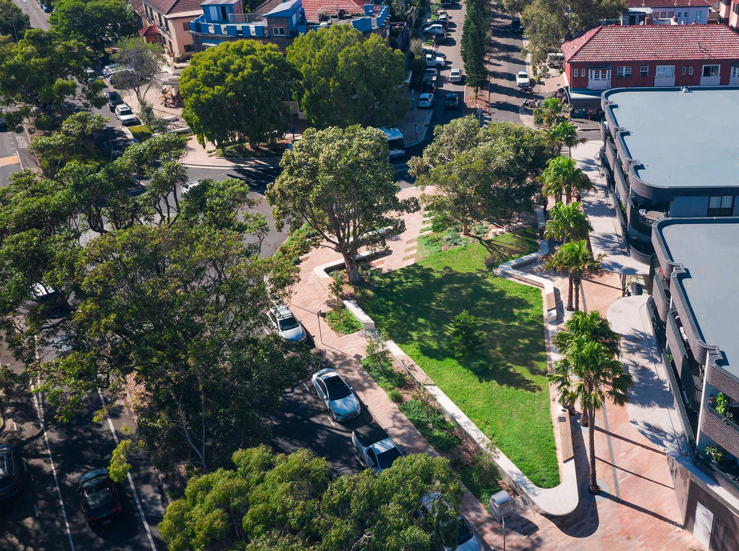
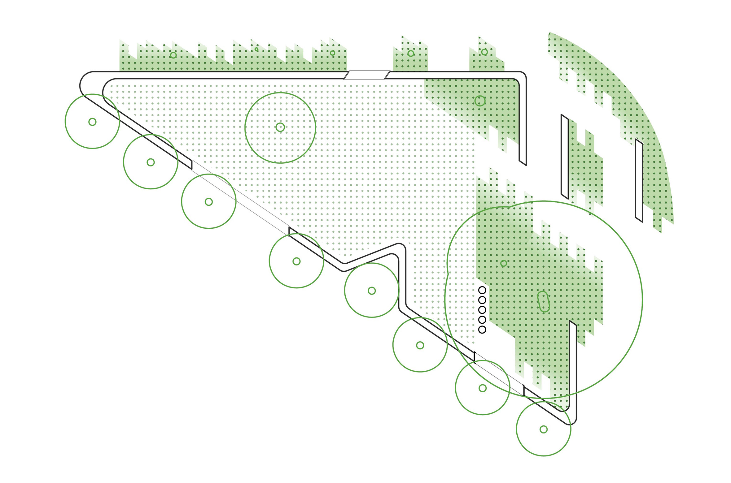
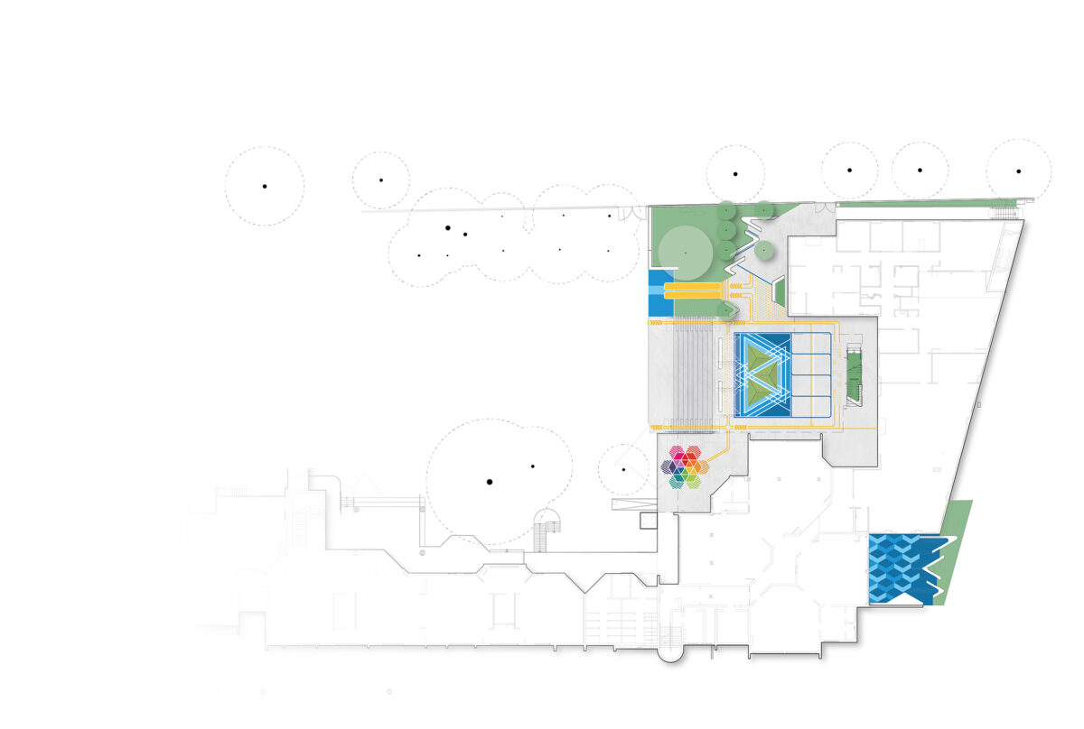
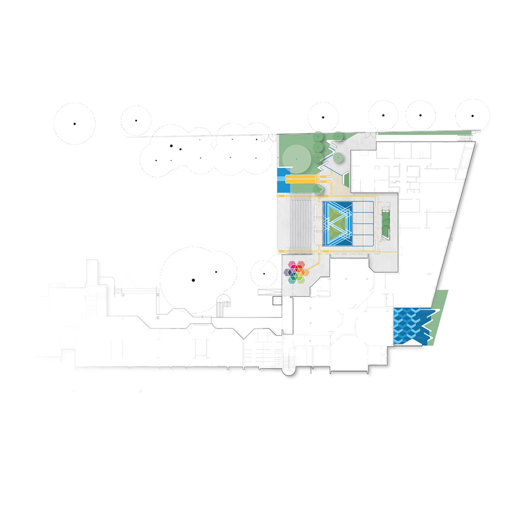
All Hallows Catholic Primary School needed their crowded campus to feel larger with more opportunities for creative and social learning. We developed a master plan to rethink the fundamentals: a safe entry, clear circulation and places to bring teachers, students and parents together. Although the campus remains small, we created a coloured thread of open-ended spaces that can be used in many ways. There’s room to run wildly, play handball or sit quietly with friends, all while feeling part of one connected experience over a range of complex level changes.

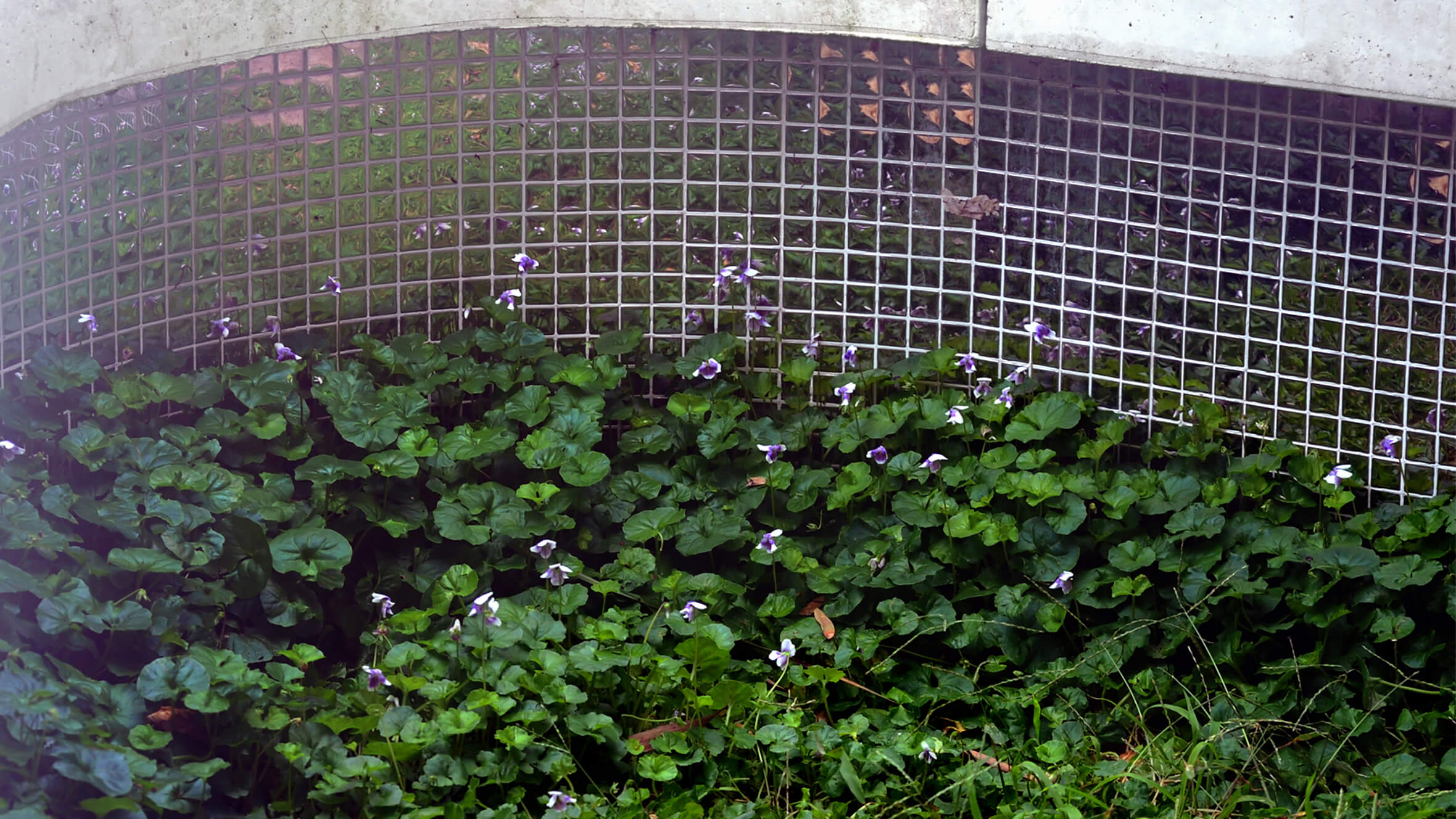
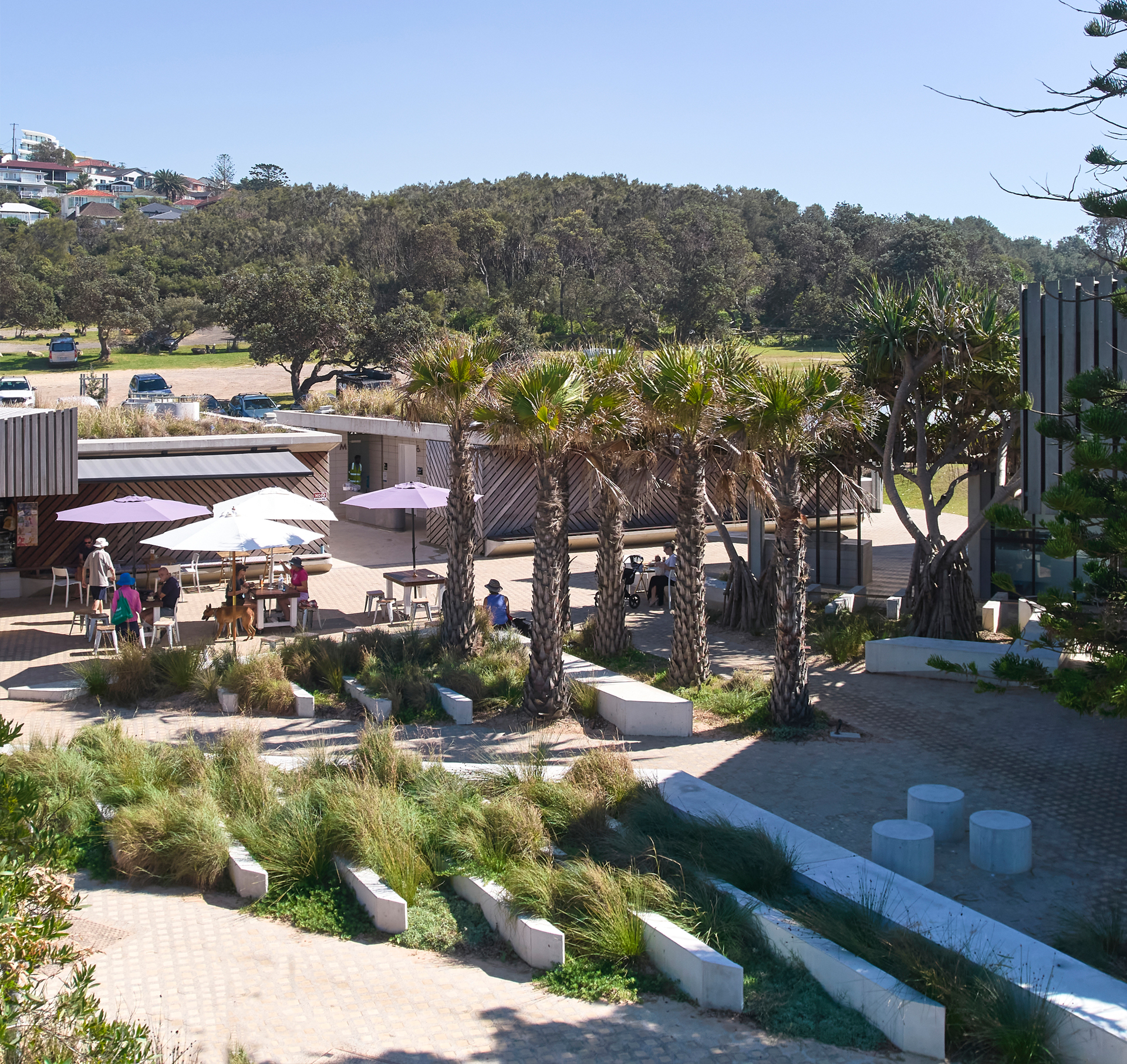
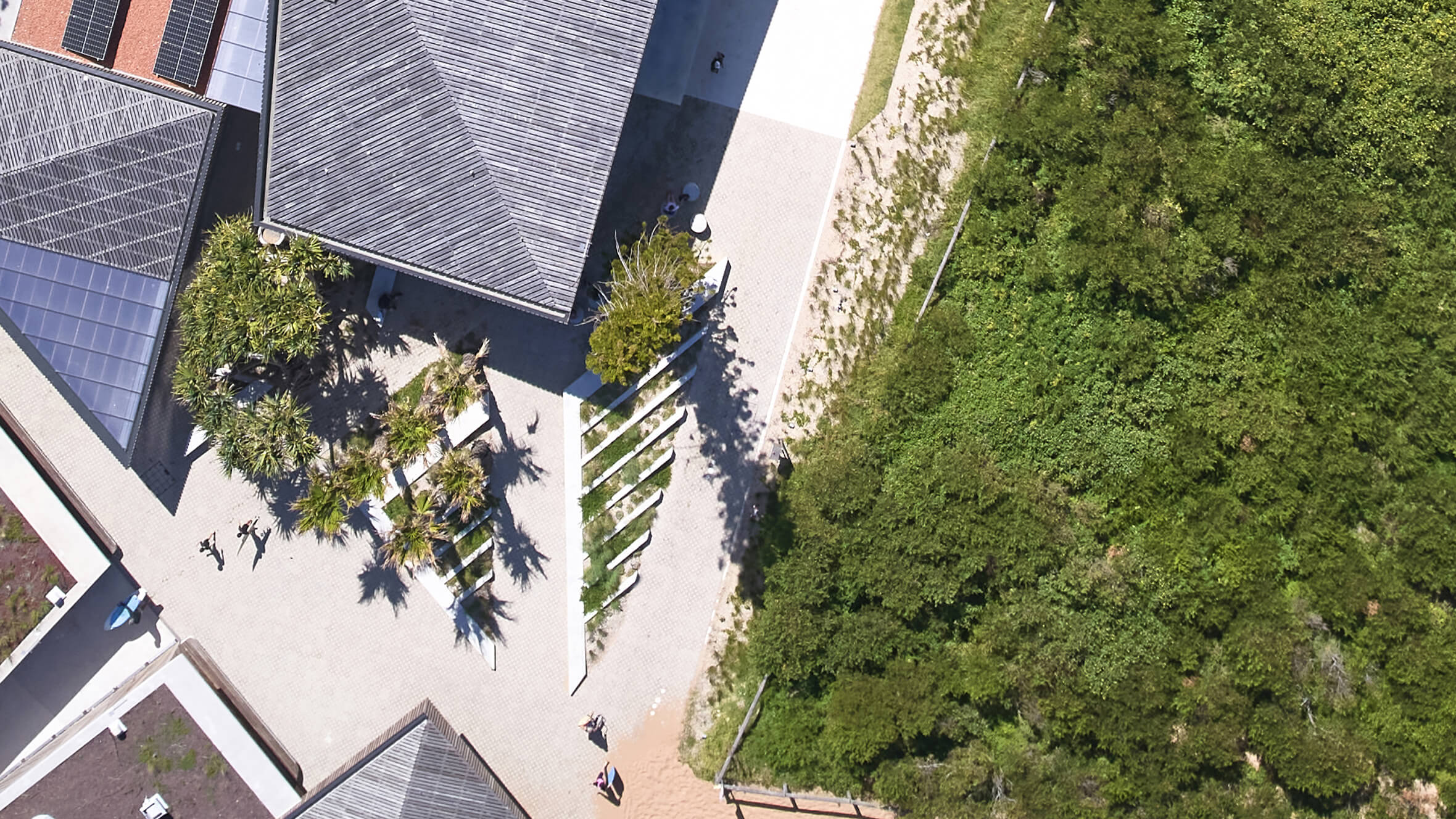
The upper and lower playgrounds are connected with amphitheatre seating, a raingarden and bright yellow slides, making the change in levels a feature instead of a barrier.

Colourful super-graphics on surfaces invite play, suggesting subtle abstracted allusions to larger natural landscapes as the foundation of imaginative play.

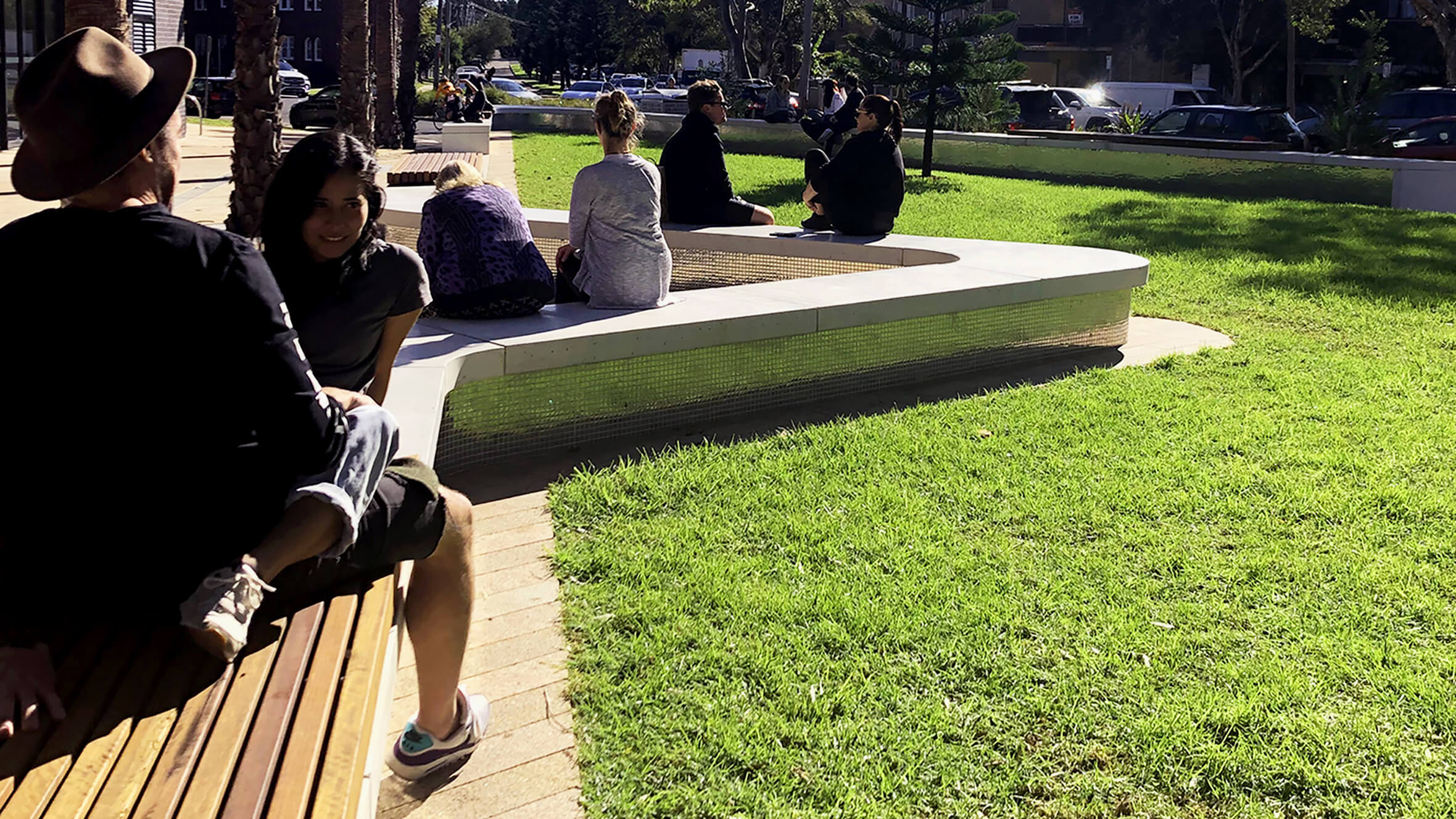
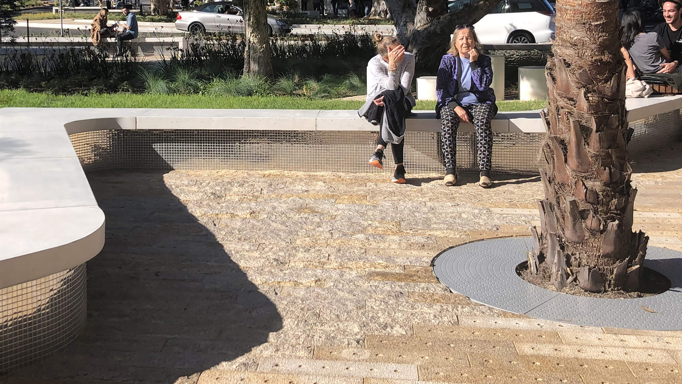
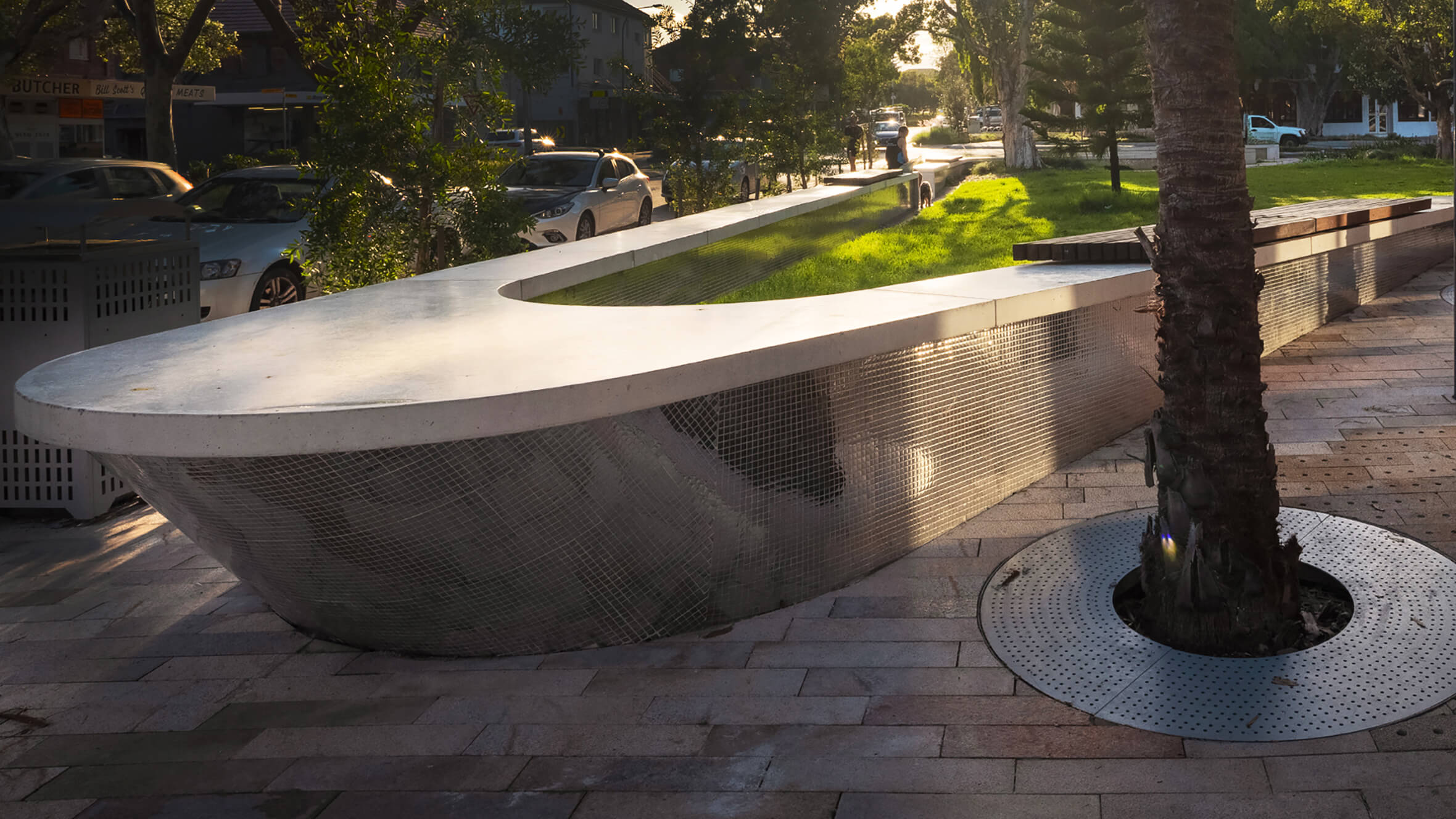
Sculptural concrete benches kink and curve to support different social interactions: quiet time, lively groups and outdoor learning.
Cost-effective, integrated design
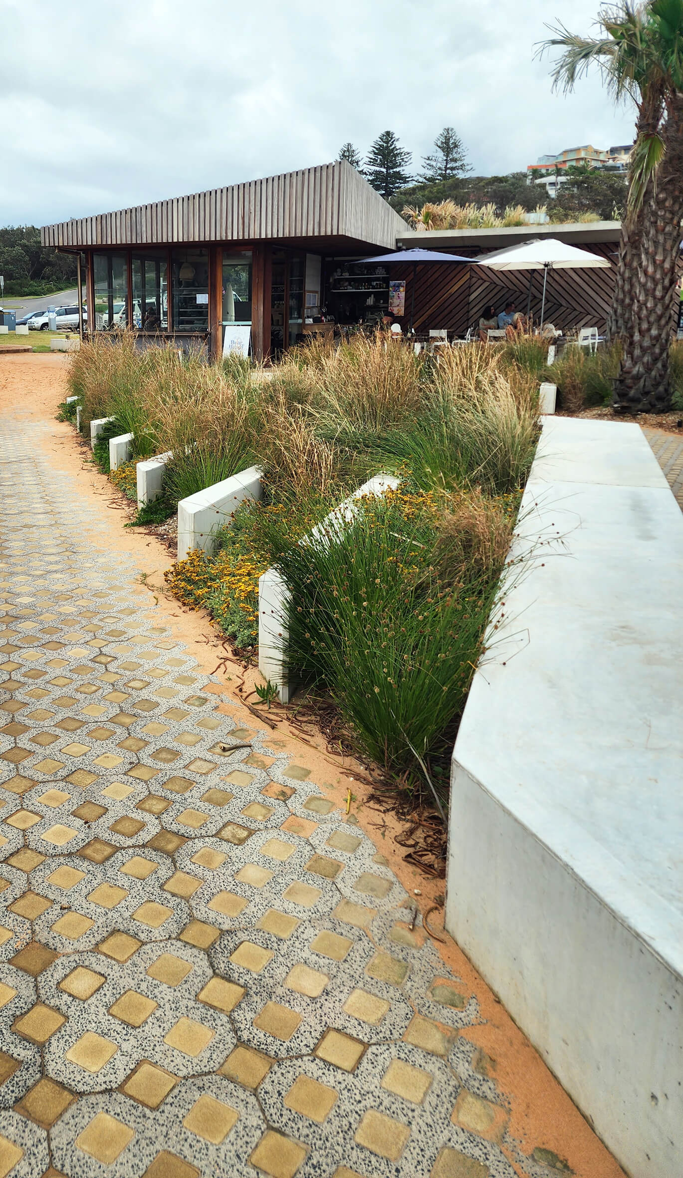
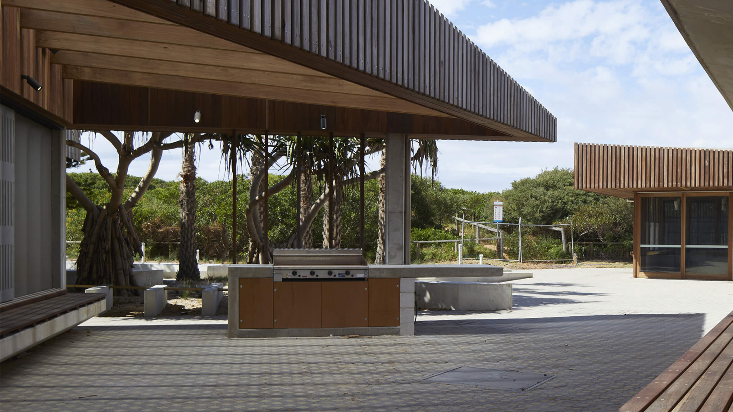
Like many school landscapes, the existing playground had become a jumble of good intentions and quick fixes. Outdoor activities were crammed into every available space on the tight, steep site. Our strategies for making the small space feel larger were to remove physical barriers and obstructions to views. We integrated seating into low walls and used a minimal material palette for each play space.

A dynamic composition of colour and pattern creates unique places to play.
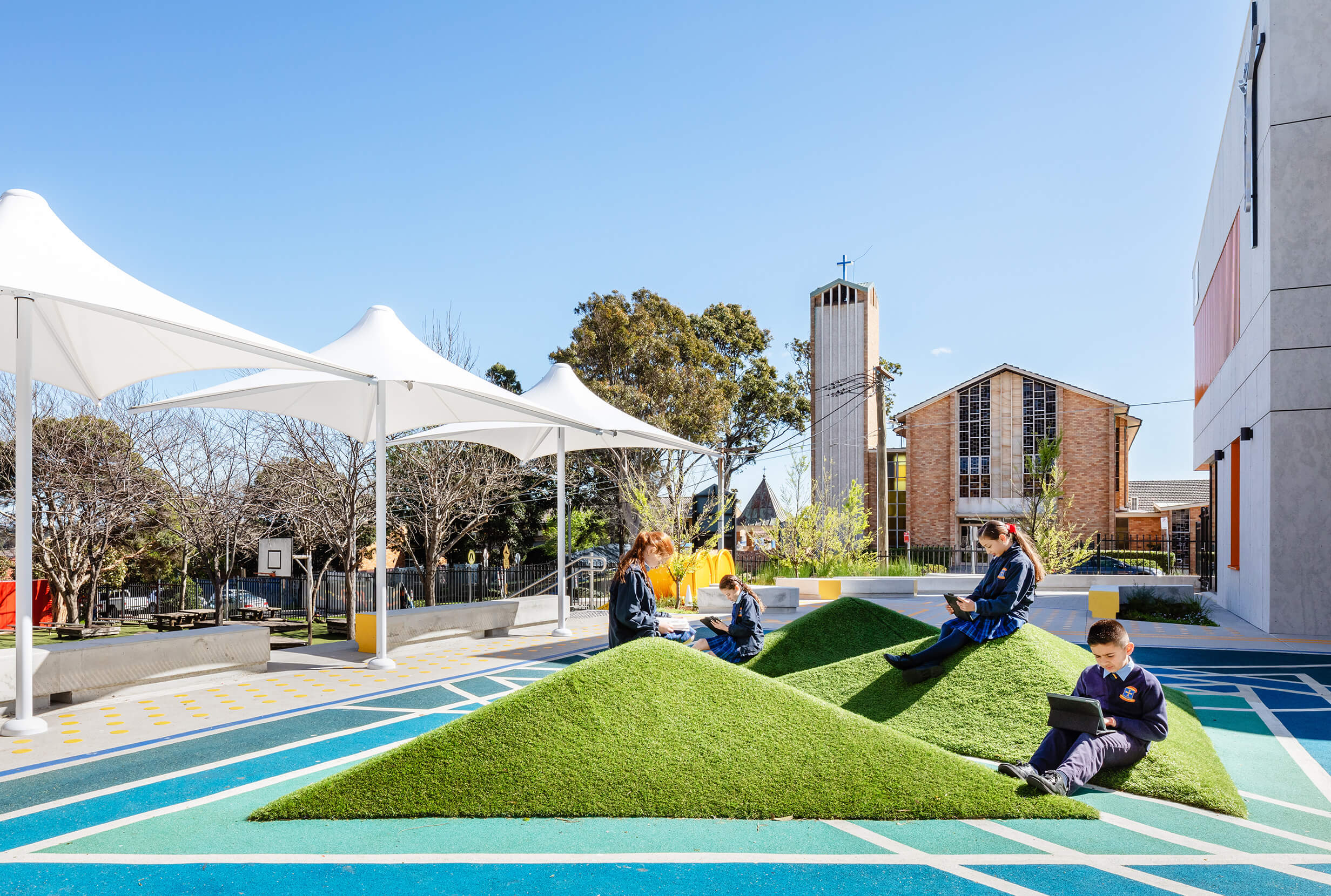
Sculptural pyramids are a favourite spot to sit and read.

The subtle shifts in elevation allow solitary and social play.
Developing space for the school community
Building on engagement with the wider school community, we included a welcoming pickup and dropoff spot at the new entrance to allow people to stop, chat and get to know each other.

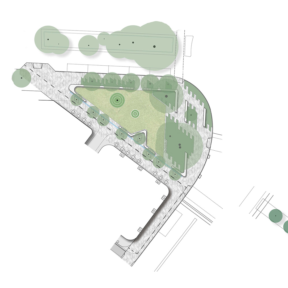
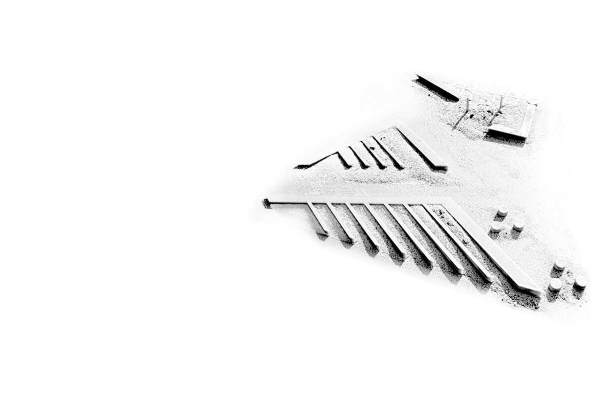
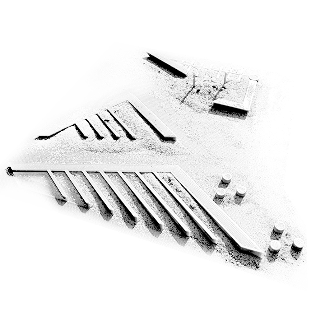
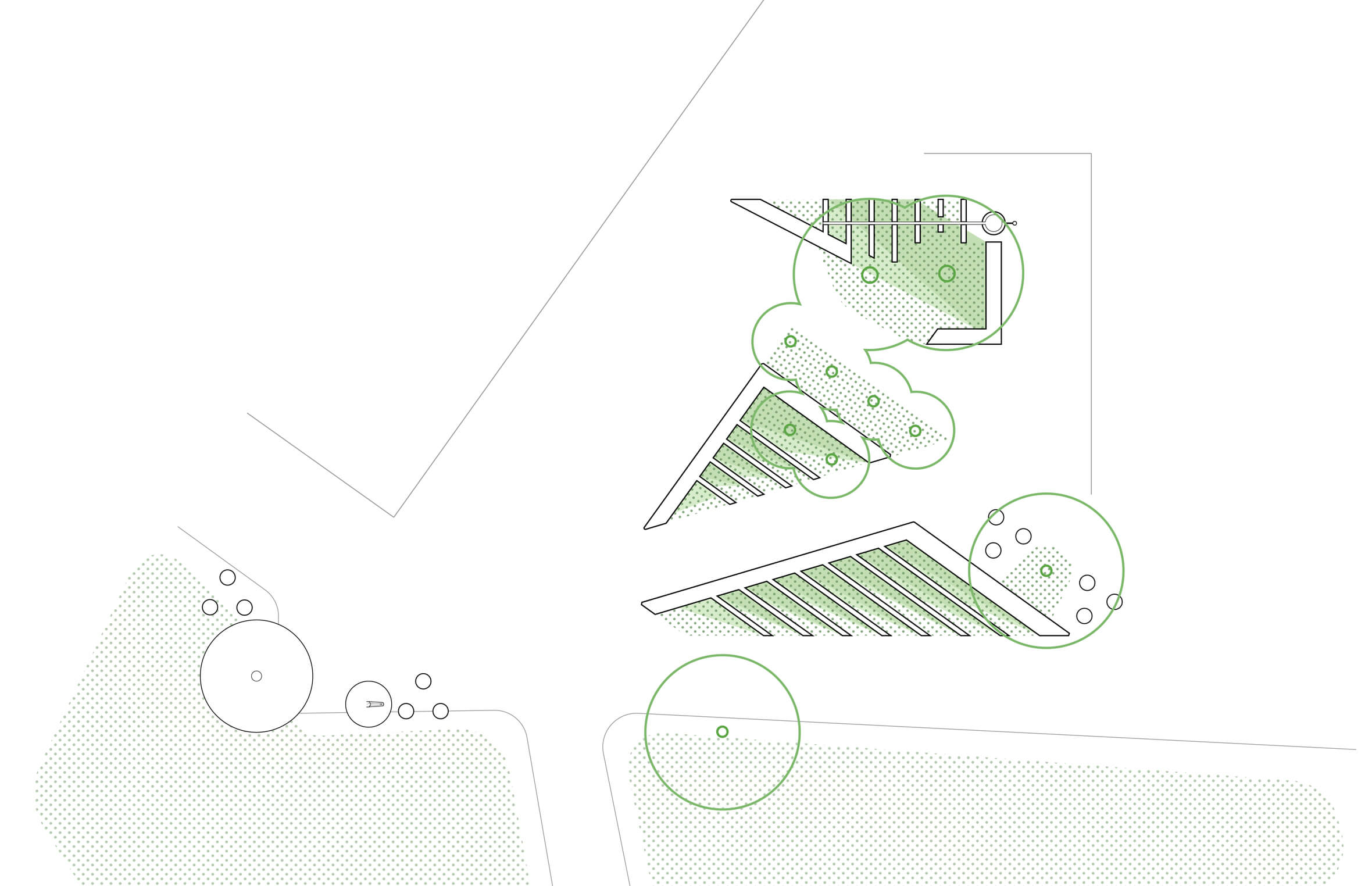
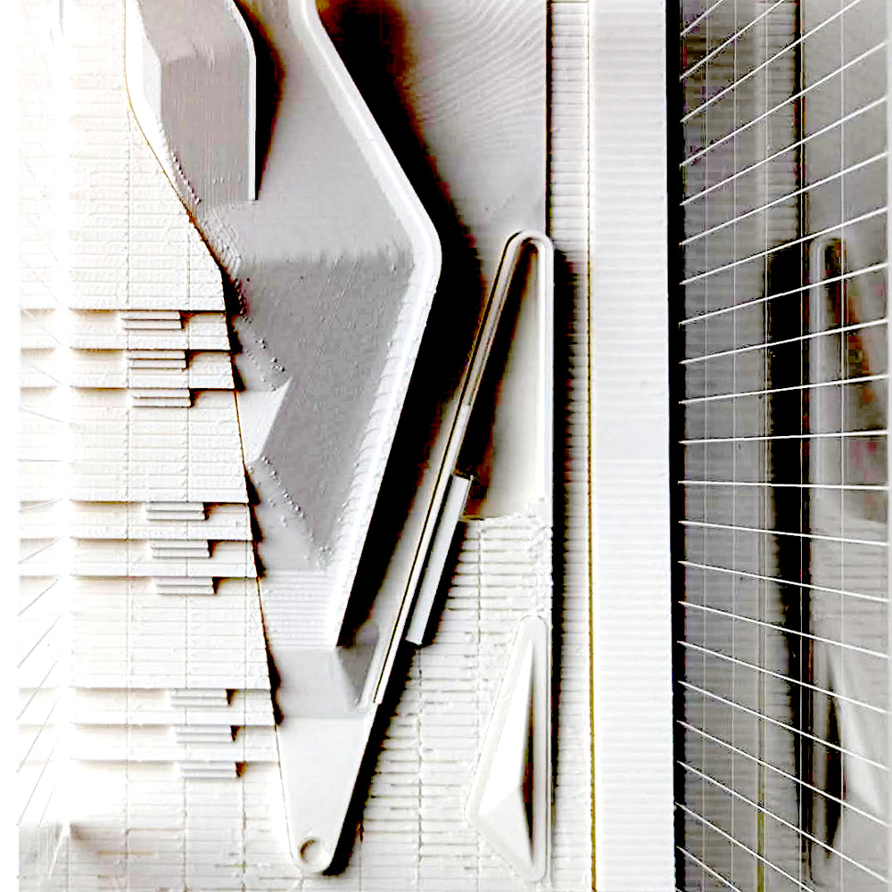
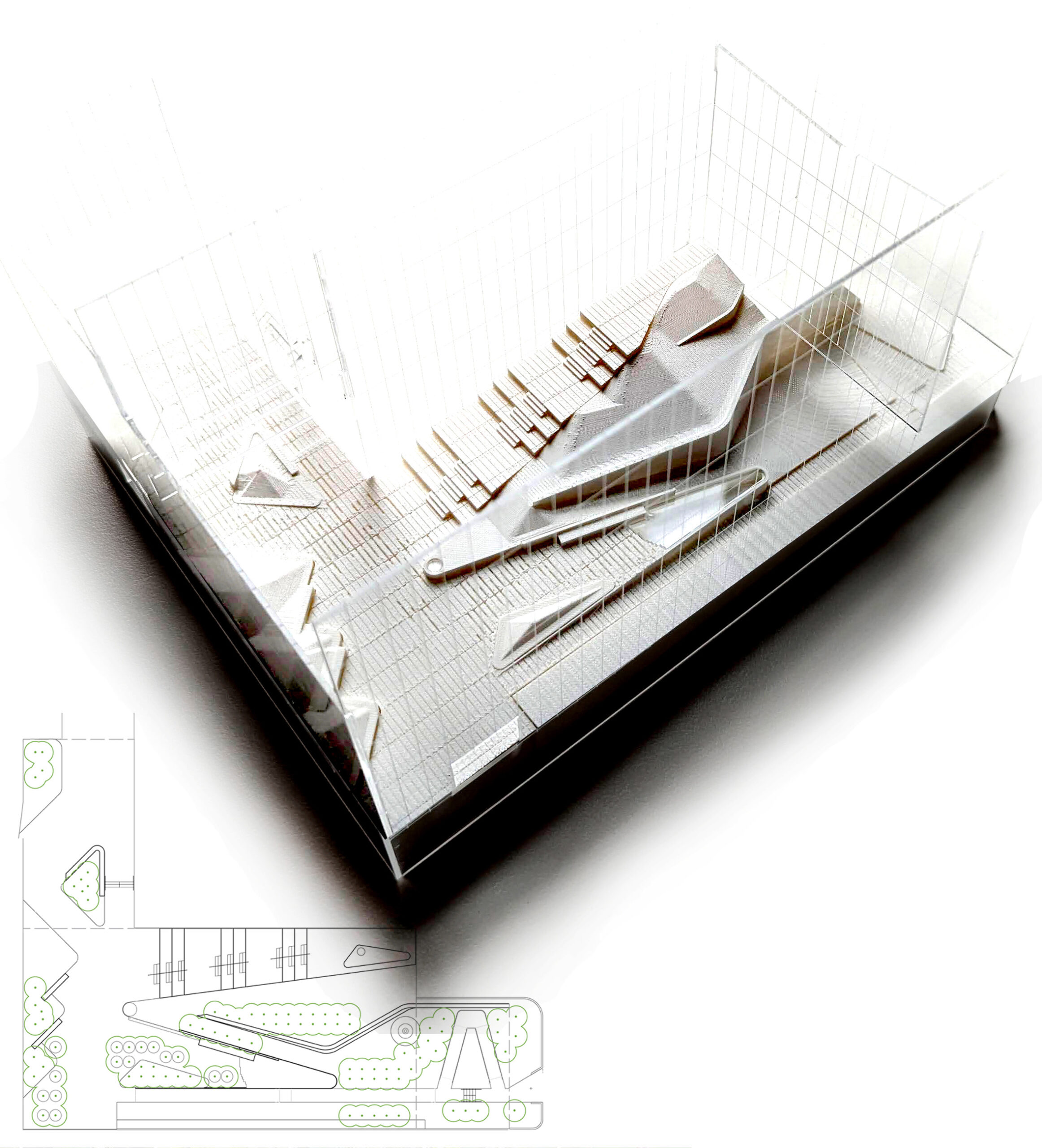
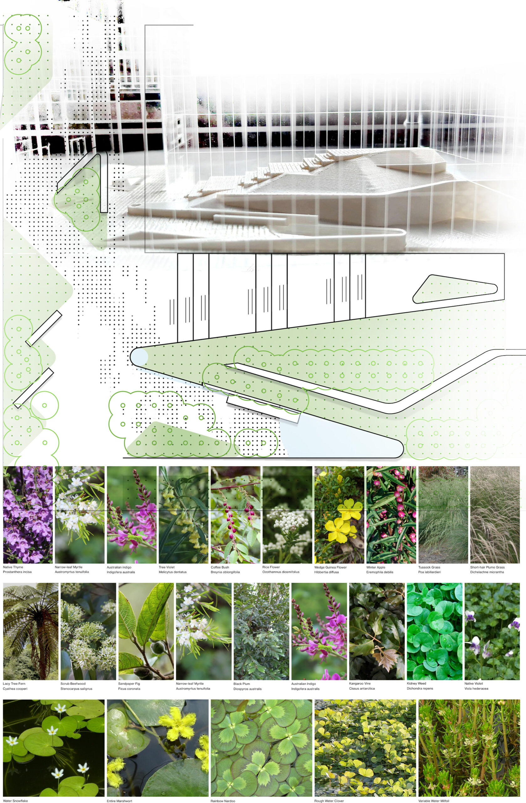
We produced clear visualisations which helped our client see the potential of our unusual design
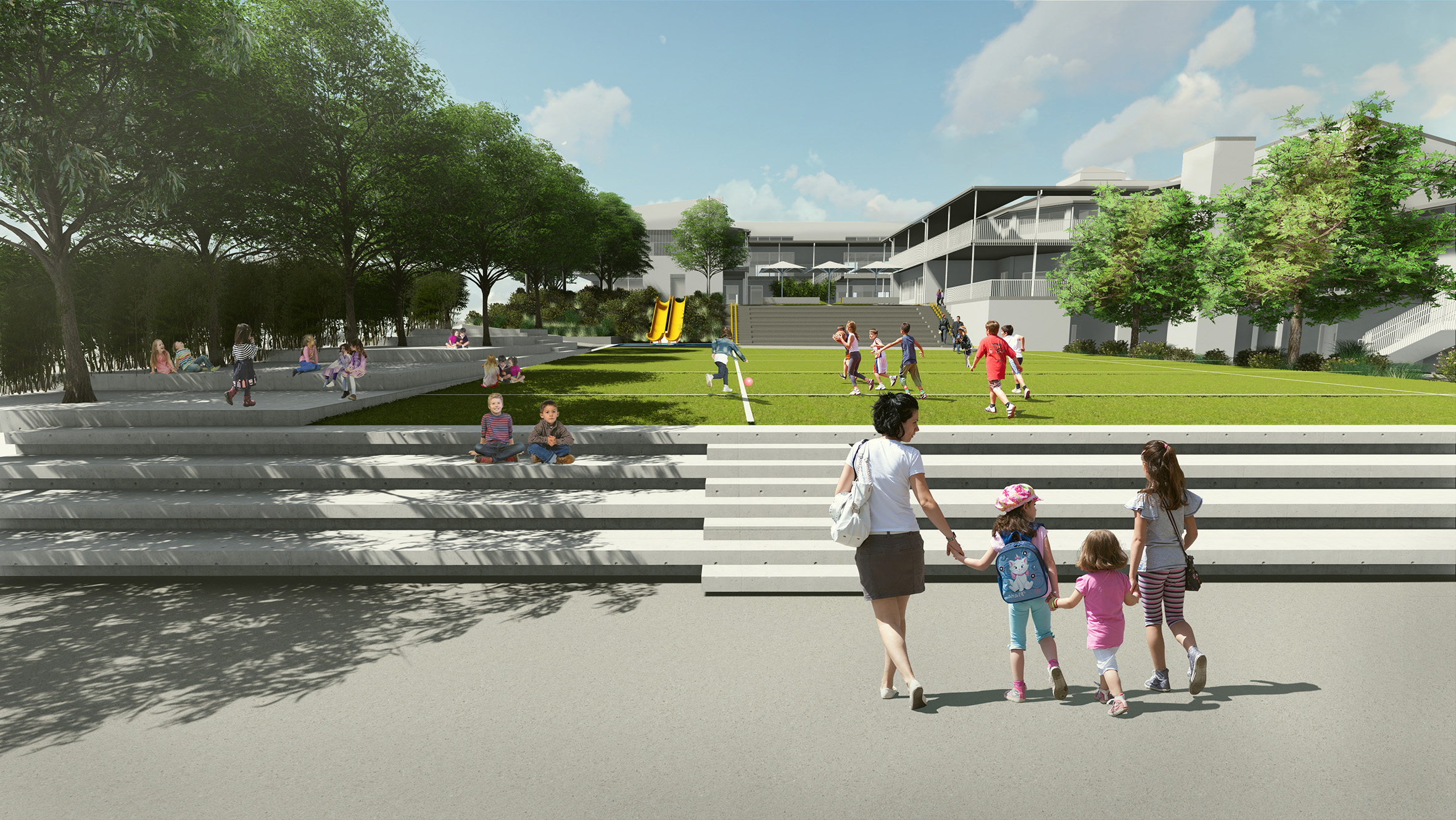
Future stages of the masterplan will connect the campus in a series of terraced seating steps and green lawns.
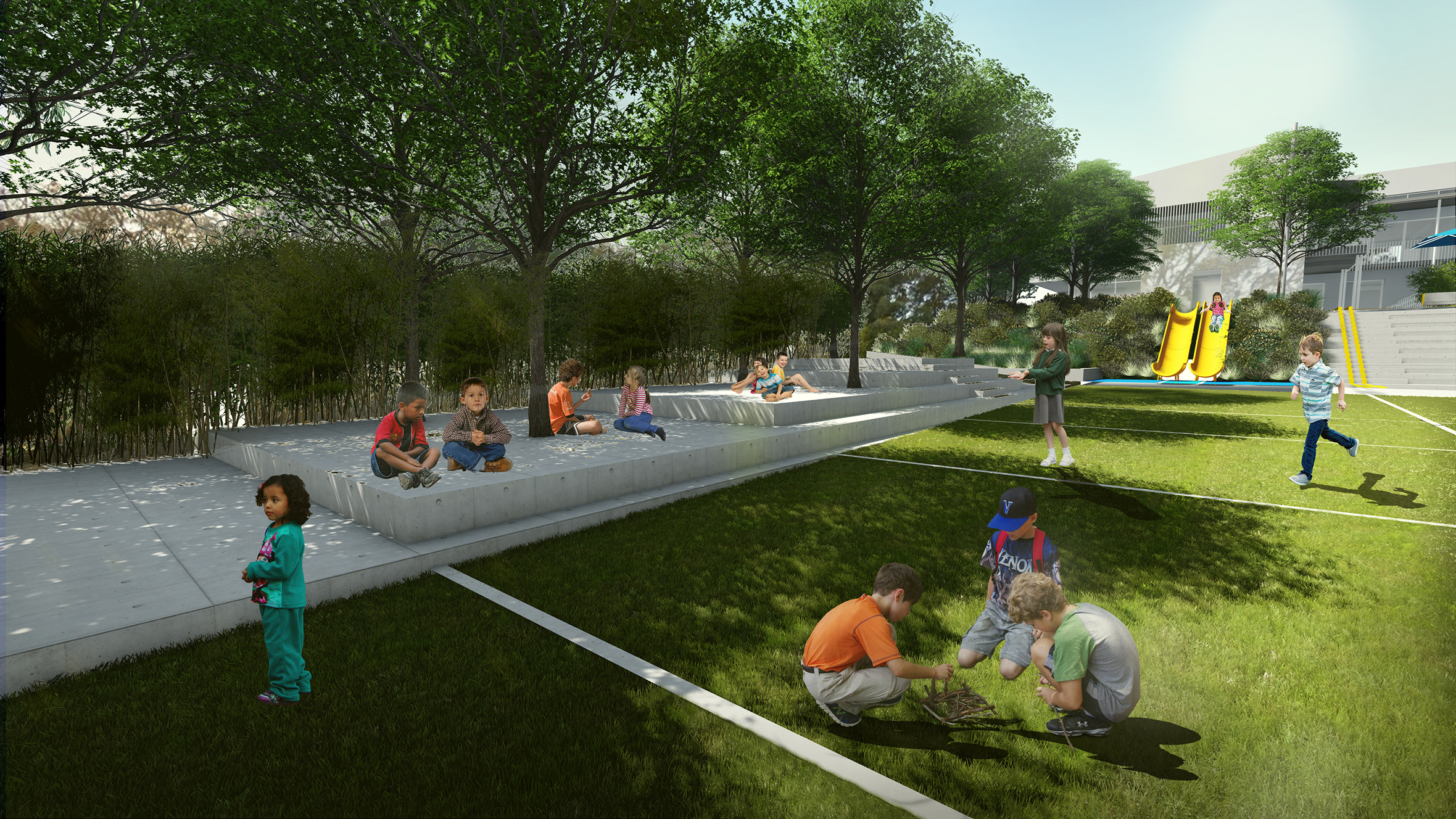
The future masterplan extends green lawns and shaded play areas for more recreation and outdoor learning opportunities.